Georeference
Advertisement
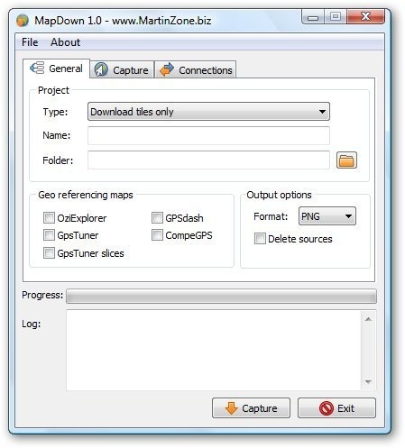
MapDown v.1.01
Capture maps from major internet map providers (Google Maps, Yahoo Maps, Microsoft Live, Openstreetmap), create georeference files for PDA application like OziExplorer, GPS Tuner, GPSdash, CompeGPS.
Geodata International v.10.05
Geodata International - World-wide database of countries with georeferenced towns, municipalities, postal codes and administrative units with WGS84 and UTM coordinates and elevations for geocoding, proximity search, navigation, distance calculation.
Advertisement
Geographic Imager v.3 1
Working with raster imagery doesn't have to be complicated. Geographic Imager® enhances Adobe Photoshop to make working with spatial imagery quick and efficient.
Mapwel Build-11.0-2013 v.2013
All-in-one software for creation of custom GPS maps compatible with Garmin GPS units.
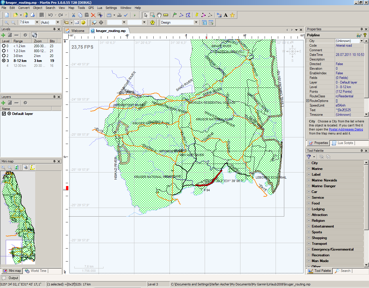
Martis Lite v.1.3.1.115
The Martis application was designed to be is a software program that lets you create and edit GPS vector maps visually with the focus on Garmin devices and maps.
TNTmips v.6.9
About TNTmips- Single product integrating the analysis of topological vector, raster, CAD, TIN, and database geodata.
Geodaten International v.6.01
Geodata International - World-wide database of countries with georeferenced towns, municipalities, postal codes and administrative units with WGS84 and UTM coordinates and elevations for geocoding, proximity search, navigation, distance calculation.